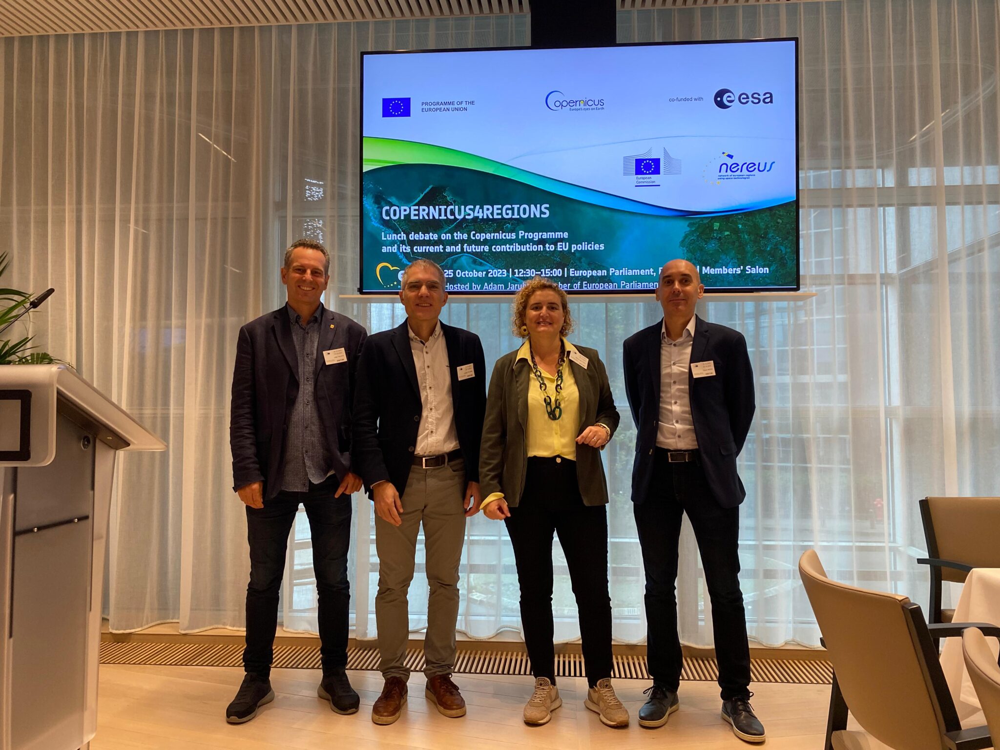
Catalonia presents a success story on the use of satellite data at the European Parliament

Caption: This Copernicus Sentinel-2 false-colour image shows the Nueva Vizcaya Province in the Philippines.
Credits: ESA (CC BY-SA 3.0 IGO)
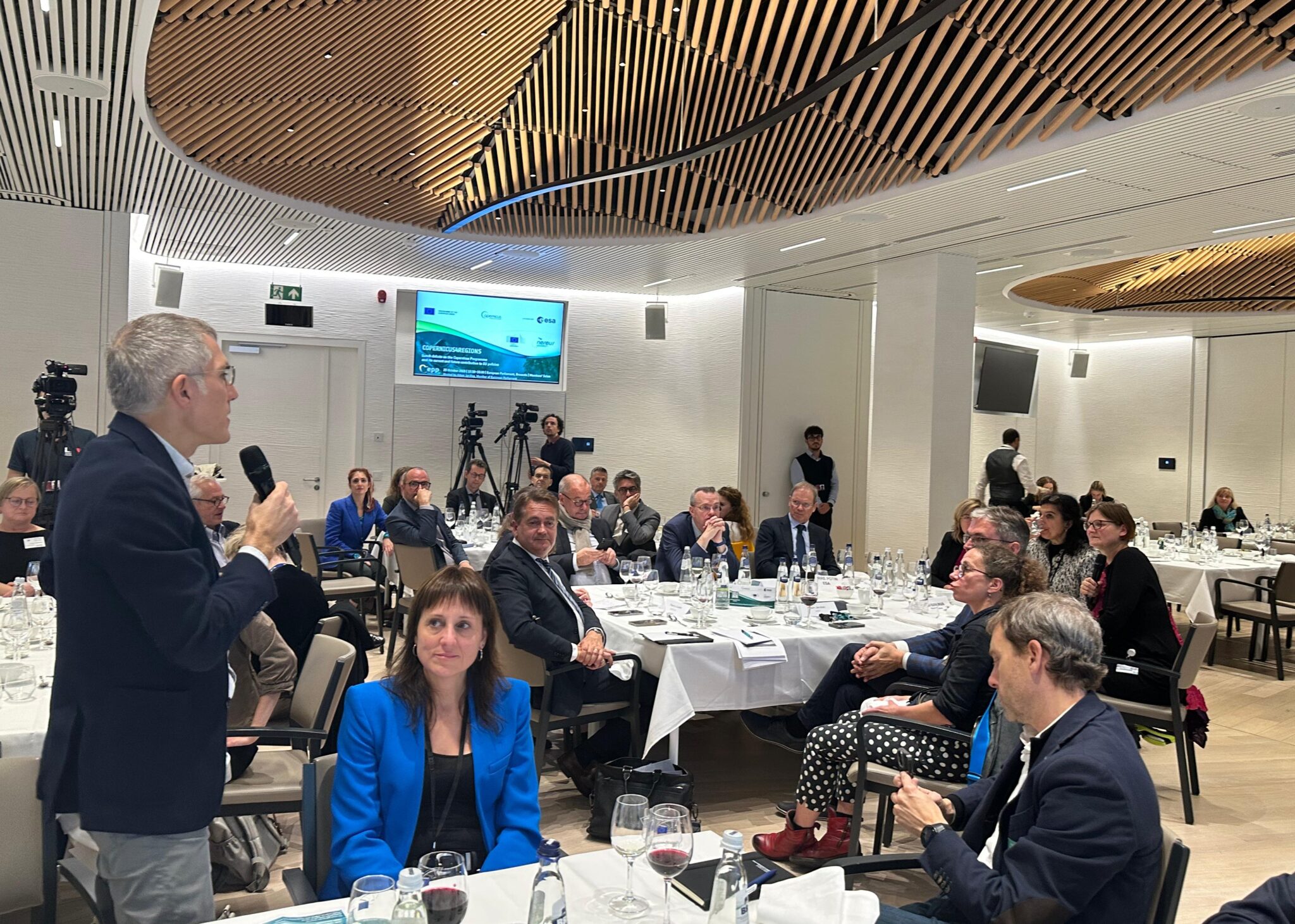
The ‘Copernicus4regions’ debate on the European Union’s Earth observation programme Copernicus was held yesterday at the European Parliament in Brussels. Organised by NEREUS (the network of European regions promoting the use of space technologies), the European Commission and the European Space Agency (ESA), the aim of the session was to highlight the value of the Copernicus programme for green policies related to climate change adaptation.
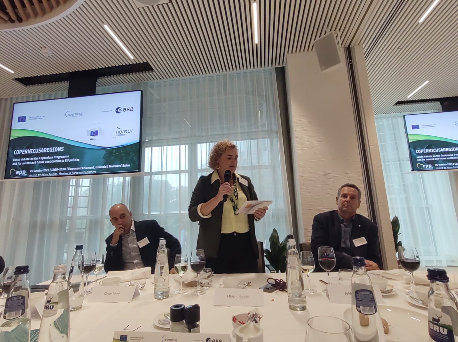
Catalonia was one of the three regions chosen to present a success story in the use of Copernicus data. The delegation from the Cartographic and Geological Institute of Catalonia (ICGC), headed by its director, Ms Miriam Moysset, presented the collaboration that is being carried out with the Catalan Water Agency (ACA), and that allows for better management and control of aquifers and their exploitation through the detection of ground movements with radar satellite data.
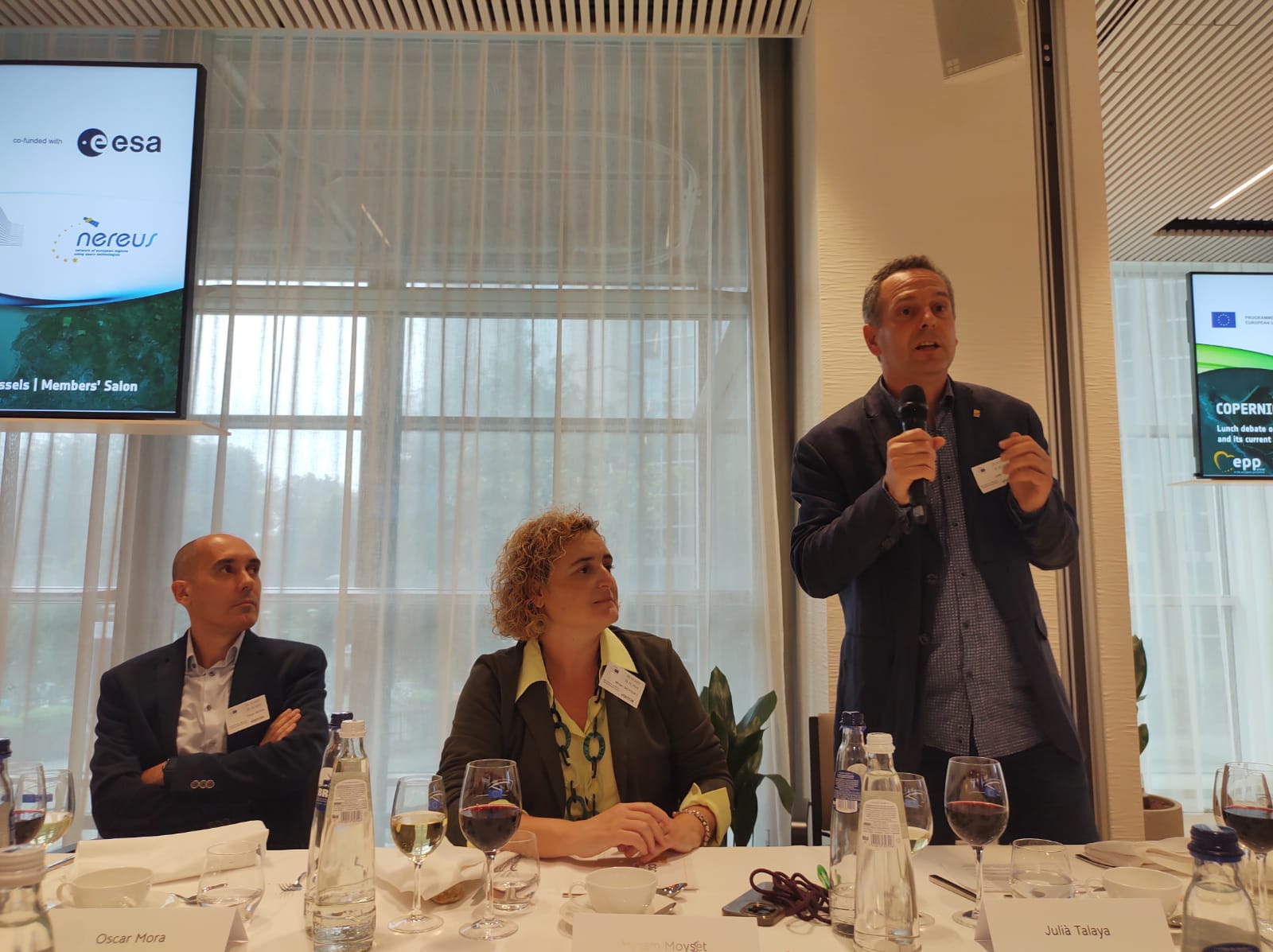
Mr Josep Colomé, director of the Area for the Promotion of the Space Sector of Catalonia (APEC), within the Institute of Space Studies of Catalonia (IEEC — Institut d’Estudis Espacials de Catalunya), participated as a member of NEREUS management board. The IEEC participates in this network on behalf of Catalonia, by delegation of the Generalitat, in the framework of the NewSpace Strategy of Catalonia. The NewSpace Strategy is promoted by the Government of Catalonia with the collaboration of the IEEC, the i2Cat Foundation and the ICGC.
Copernicus is the European Union’s Earth Observation programme, which provides information services based on satellite data and in situ data (from sensors, ground stations, etc.). The programme has its own set of satellites (the ‘Sentinel’ familiy), which are complemented by other commercial or public satellites from participating missions.
The debate began at around 12.30 pm with a welcome address by Polish MEP Adam Jarubas, who hosted the event, and continued with a series of presentations and panel discussions until 3 pm. MEPs, advisors and experts discussed the applications of satellite data in fields such as land management, biodiversity and forestry, agriculture and others.
Image gallery